Field precision
Every coordinate reduces operational uncertainty and protects the financial schedule.
Millimetric surveying, advanced geoprocessing and environmental licensing for the largest infrastructure undertakings in South America.
32+
years of consolidated experience
5+
environmental licenses issued
72h
active clients across 5 countries
Every coordinate we deliver is a management decision. Every measurement, a shield against rework.
Every coordinate reduces operational uncertainty and protects the financial schedule.
Teams and logistics ready for isolated areas for extended periods.
Deliverables ready for audit, measurement and project approval.
Three verticals talking to each other to deliver cleared sites, reliable data and licenses on time.
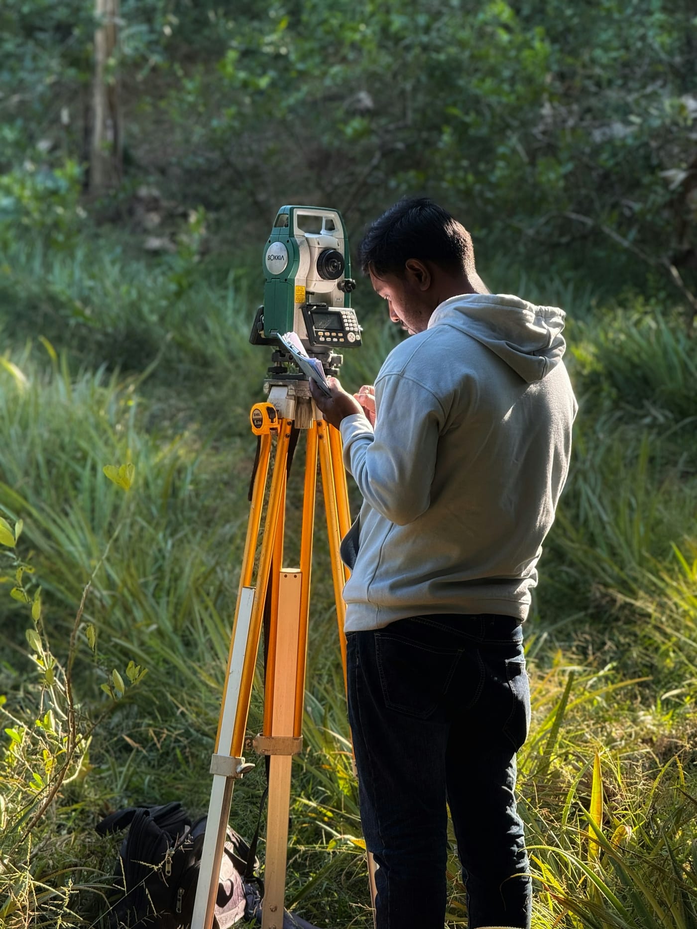
Planialtimetric surveys, axis layout, earthwork control and continuous as-built with RTK and total stations.

Digital cartography, drone aerial mapping, point cloud processing and bespoke geospatial dashboards.

Licensing, forestry and fauna inventories, socio-environmental diagnostics and agro-environmental reports with full technical defense.
A continuous pipeline that links the field to financial planning, with no losses in between.
Stage 01
We set up the surveying camp and launch the attack plan in record time after signature. No Day-1 inertia.
Stage 02
Drones, GNSS, total stations and seasoned crews in the field, operating continuously even in isolated zones.
Stage 03
Drawings, point clouds, orthomosaics and executive reports speaking the language of designers and project managers.
Stage 04
Deliverables ready to back measurements, audits, licensing and technical disputes with documental strength.
Continuous investment in technology to deliver precision and speed impossible with conventional methods.
Select the project type to see the risk MIDAS eliminates.
Correct axes, controlled earthwork, schedule protected.
Rights-of-way and environmental docs without uncertainty.
Layout, drainage and regularization on time.
Platforms, levels and drainage without rework.
Technical base and approval on schedule.
Field, GIS and environmental in a single operation.
Correct axes, controlled earthwork, schedule protected.
Rights-of-way and environmental docs without uncertainty.
Layout, drainage and regularization on time.
Platforms, levels and drainage without rework.
Technical base and approval on schedule.
Field, GIS and environmental in a single operation.
Proven industrial scale in critical infrastructure projects since 1994, with active operations across six South American countries.
32+
years in the consulting engineering market
+50k
environmental processes conducted in 6 years
+60
professionals deployable in 72 hours
+45
projects completed across 5 countries
1994
Operating since
LATAM
Coverage
Integrated
Delivery
Cobertura regional LATAM
MIDAS operates across the Southern Cone, with proven expertise in tropical conditions, remote areas and isolation logistics. Asunción is our strategic hub for projects in Paraguay, Brazil, Argentina, Bolivia, Uruguay and Guyana.
Invite our engineering to your next bid (RFP / RFQ) or schedule a technical alignment for your next construction front.
1994
Since
5
Countries
24h
Response