Geoprocessing that turns land into decisions.
Vertical 02

Geoprocessing that turns land into decisions.

Digital cartography, drone aerial mapping, 3D modeling and WebGIS platforms for full geospatial asset management.

Geoprocessing turns territory into decision-grade data. MIDAS integrates drone (UAV) mapping, photogrammetry, LiDAR and point clouds with bespoke WebGIS platforms, producing orthomosaics, DTM/DSM and spatial analysis at scale. Where competitors hand over loose files, we connect aerial capture to GIS and BIM, with standardized, traceable data ready for engineering, permitting and asset management.

Technical capabilities

Drone Aerial Mapping
01 / 06

Drone Aerial Mapping

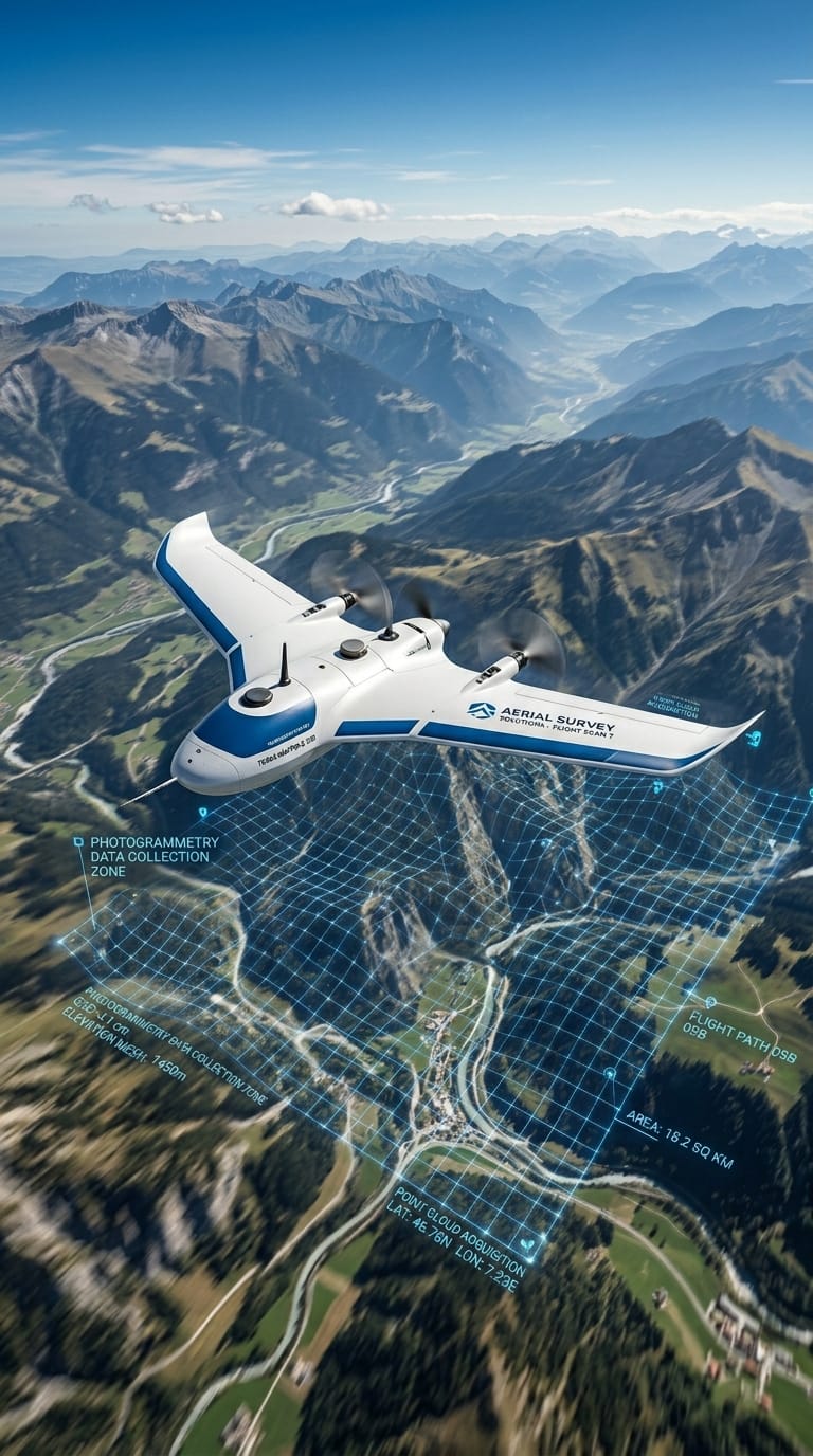
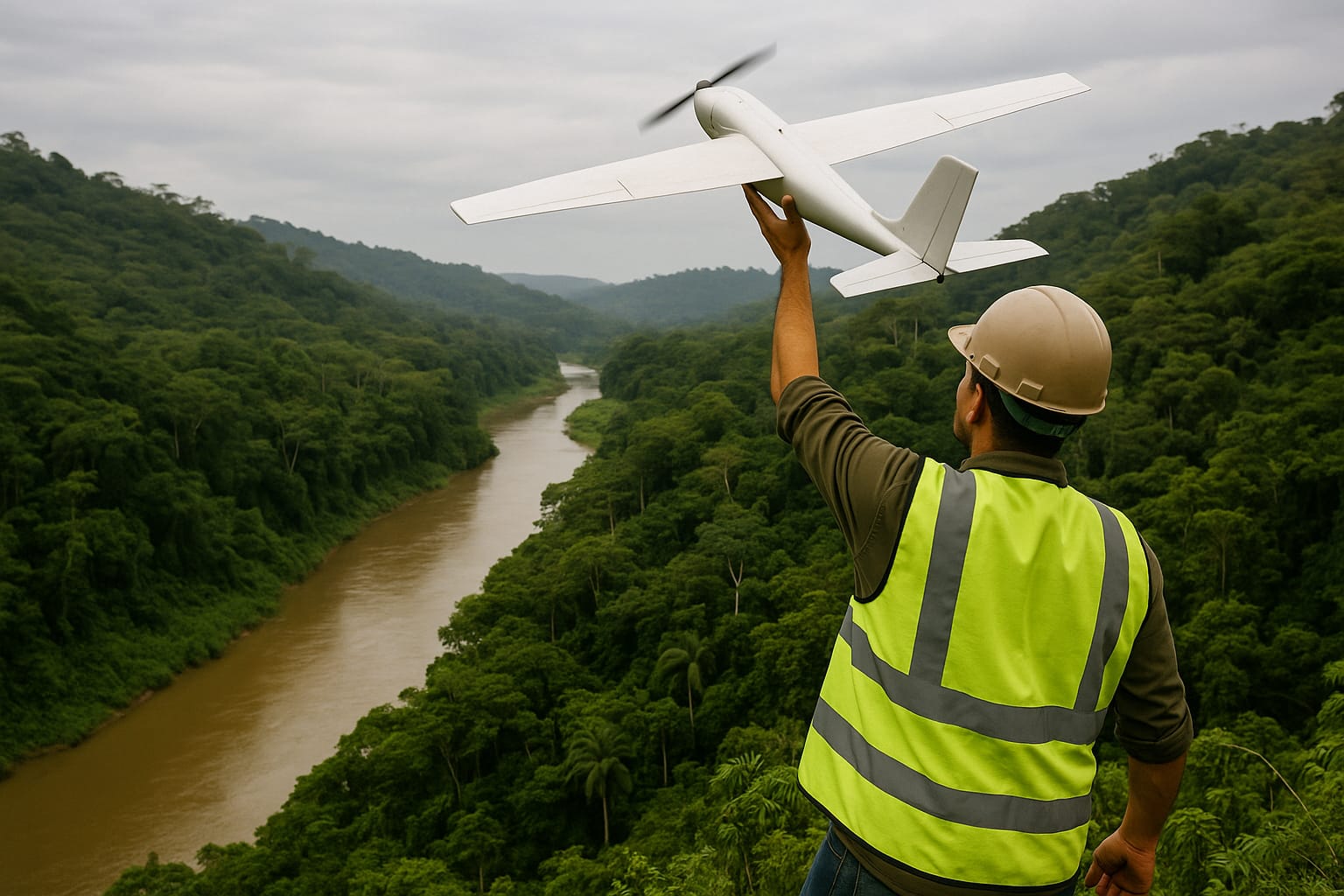
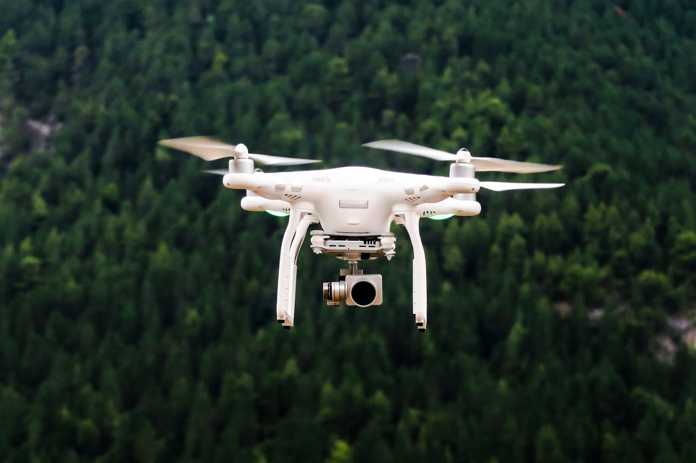
Aerial photogrammetry with fixed-wing and multi-rotor UAVs for mapping areas from 1 to over 10,000 hectares in a single campaign. 42MP RGB, multispectral and thermal cameras produce orthomosaics with GSD down to 2 cm/pixel — sufficient to detect pavement defects, invasive vegetation and soil variations. Flights are managed via automated mission plans with 80% forward overlap and 70% lateral overlap.
Point Clouds & LiDAR
02 / 06

Point Clouds & LiDAR

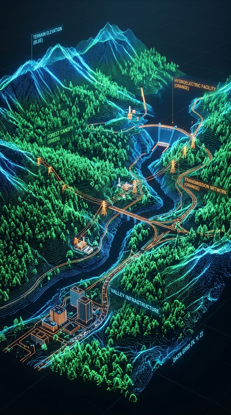
Dense point cloud capture by stereo photogrammetry (Structure from Motion) or airborne LiDAR at densities of up to 40 points/m². Clouds are classified and filtered for extraction of Digital Terrain Models (DTM), Digital Surface Models (DSM) and vegetation models. Applied to complex engineering projects (slopes, transmission lines, pipelines), hydrological studies and mineral planning.

Orthomosaics & Digital Models
03 / 06

Orthomosaics & Digital Models

Production of georeferenced orthophotos in SIRGAS 2000 with planimetric accuracy of ±3 cm (with GCPs) and altimetric accuracy of ±5 cm. DTM and DSM delivered in GeoTIFF, ASC and LAS formats. All products go through internal quality control with independent GCP validation before delivery. Applications include spoil volume calculation, vegetation cover analysis, drainage design and sustainable clearing planning.

Corporate Digital Cartography
04 / 06

Corporate Digital Cartography

Production of custom cartographic bases, thematic maps and corporate geospatial atlases at any scale. Integration of vector, raster and tabular data in a GIS environment (QGIS / ArcGIS Pro) with standardized symbology for presentation to regulatory agencies, investors and communities. Delivered in PDF, GeoPDF, SHP, GPKG and formats compatible with all major environmental and asset management systems.

Bespoke WebGIS Platforms
05 / 06

Bespoke WebGIS Platforms

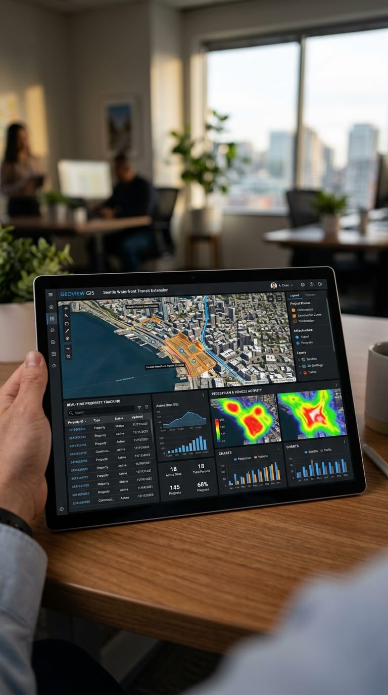
Development of web-based geospatial dashboards for monitoring assets, fleets, concession areas and environmental liabilities. Technologies: Leaflet, MapLibre, Mapbox GL, PostGIS, GeoServer and REST APIs. Clients access the map on any device with secure authentication, with the ability to enter field data via an offline mobile app. Ideal for operators needing real-time geospatial visibility over their assets.

Spatial Analysis & Modeling
06 / 06

Spatial Analysis & Modeling

Territorial suitability analysis, watershed modeling, drainage network analysis, flood simulation (HEC-RAS/HEC-HMS), highway alignment and distribution network optimization, and viewshed analysis for towers and transmission lines. We deliver technical reports with detailed methodology and maps at the appropriate scale for submission to regulatory agencies.

Method

From aerial capture to decision-ready data.

01

Flight planning

GSD, flight lines and control points defined to guarantee cartographic accuracy.

02

Acquisition

Fixed-wing and multirotor UAV flights, LiDAR and multispectral sensors.

03

Processing

Orthomosaics, DTM/DSM and point clouds ready to integrate with BIM and GIS.

04

Geospatial intelligence

Layers, analysis and WebGIS dashboards for engineering, permitting and management.

End-to-end geoprocessing

UAV aerial mapping for orthomosaics and DTM/DSM.
01UAV aerial mapping for orthomosaics and DTM/DSM.
LiDAR point clouds for 3D terrain modeling.
02LiDAR point clouds for 3D terrain modeling.
WebGIS platforms to monitor the asset in real time.
03WebGIS platforms to monitor the asset in real time.
Why MIDAS

Geospatial intelligence in action

01

Decision-ready data

Deliverables structured for immediate integration with BIM (IFC, RVT), ERP (SAP, Totvs) and corporate GIS (Esri, QGIS). No reprocessing. No rework.

02

Continental scale

Capacity to map from 1 to 50,000 ha in a single field campaign. We operate simultaneously across multiple countries with centralized data management and a single delivery standard.

03

Open & enterprise stack

QGIS, ArcGIS Pro, PostGIS, GeoServer, Leaflet, MapLibre and on-demand software development. We choose the right tool for the problem, not the tool we happen to have a licence for.