Surveying that speaks the language of the financial schedule.
Vertical 01

Surveying that speaks the language of the financial schedule.

Ultra-fast mobilization, on-site resident crews and RTK technology synced with your heavy machinery. Your earthwork starts on Day 1.

Topographic engineering is the foundation of every project: it defines where each axis, level and structure is built on the ground. MIDAS delivers topographic surveys, construction staking, georeferencing and continuous as-built with centimeter accuracy using RTK/GNSS and robotic total stations — linking the field to the executive design and the financial schedule. Unlike one-off providers, we mobilize crews within 72h and hand over BIM-ready data, cutting rework and protecting deadline and budget.

Technical services

Planialtimetric Survey
01 / 06

Planialtimetric Survey

Full topographic cadastre with contour lines, hydrography, existing infrastructure and physical land registry. We use GNSS RTK and robotic total stations to cover everything from small urban plots to highway corridors hundreds of kilometres long. Deliverables include DWG, DXF, shapefiles and a technical report with vertex memorandum and digital field notebook, ready for integration with engineering projects and BIM.

Axis Layout & Special Structures
02 / 06

Axis Layout & Special Structures

Setting-out of highway, railway, oil and gas pipeline alignments to millimetric tolerance using GNSS RTK and robotic total stations. Scope includes foundations, columns, piles, retaining structures and special art works (bridges, viaducts, culverts). The electronic field notebook provides full traceability for every set-out point, eliminating discrepancies between design and field reality.

Earthwork Control
03 / 06

Earthwork Control

Continuous tracking of cuts, fills, spoil dumps and platforms with weekly volumetric closure based on drone + RTK surveys. We generate volume calculations by cross-section and by point-cloud method, with ±2% accuracy on measured volume. Data feeds the project's physical-financial schedule in real time, preventing conflicts between contractual measurement and actual execution.

Continuous As-Built
04 / 06

Continuous As-Built

Topographic documentation of the work as built, carried out continuously throughout the execution cycle — not only at the end. Each construction front receives updated drawings weekly, enabling designers and managers to make decisions based on reality, not on what was planned. Deliverables in DWG, georeferenced PDF and 3D point cloud, essential for contractual measurements, audits and future asset operation.

Property Georeferencing
05 / 06

Property Georeferencing

Georeferencing of rural and urban properties with vertex certification in SIRGAS 2000, compliant with applicable technical standards. We handle everything from boundary research, field demarcation and monument installation through to the descriptive memorandum and georeferenced plan for submission to the competent registry. Essential for land regularization, notarial registration, environmental licensing and property transfer.

Structural Monitoring
06 / 06

Structural Monitoring

Topographic monitoring of differential settlements, deformations and displacements in concrete structures, slopes, dams, embankments and foundations. We use reflective targets, prisms and deformation sensors integrated with analysis software to generate automatic reports with threshold alerts. The system ensures legal traceability and enables trend analysis before deformations reach critical levels.

Method

From field to as-built, with no noise between stages.

01

Mobilization in 72h

Crew and equipment on site within 72h of signing, with a defined attack plan.

02

High-density capture

Planimetric/altimetric survey with RTK/GNSS and total stations, georeferenced and traceable.

03

Processing

Data cleaned and reconciled with the executive design and BIM model the same day.

04

As-built & control

Continuous tracking of volumes, drainage and layout through as-built delivery.

Surveying in the field and in the office

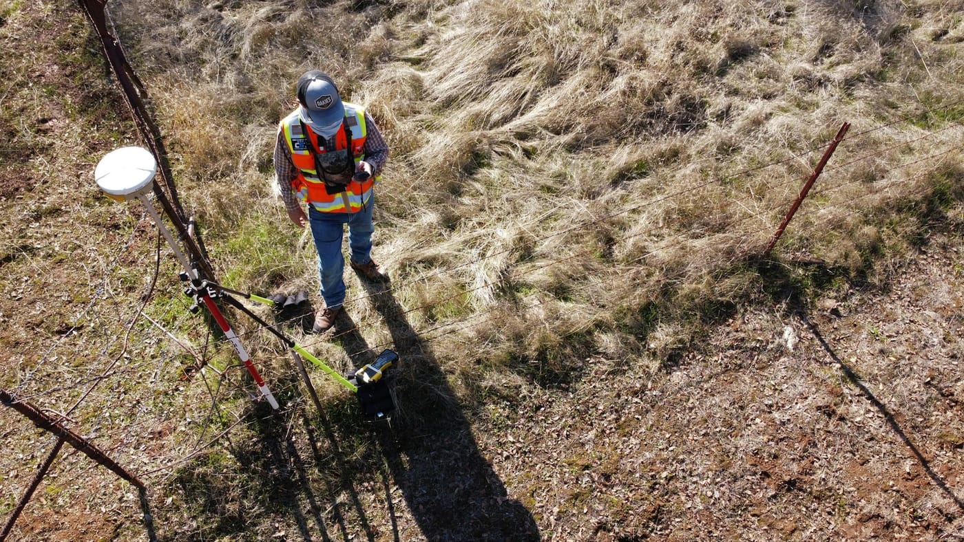
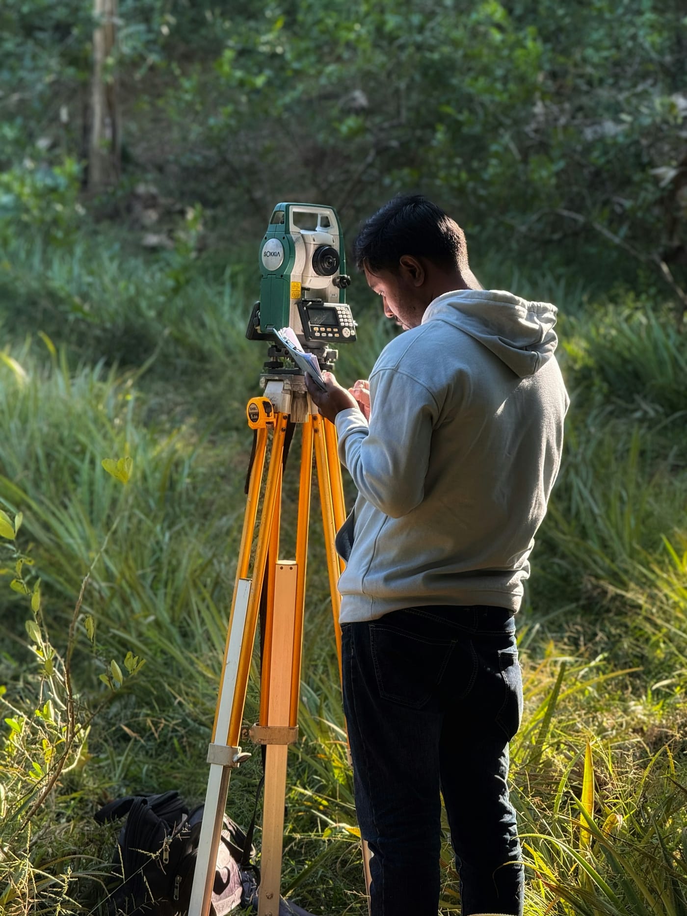
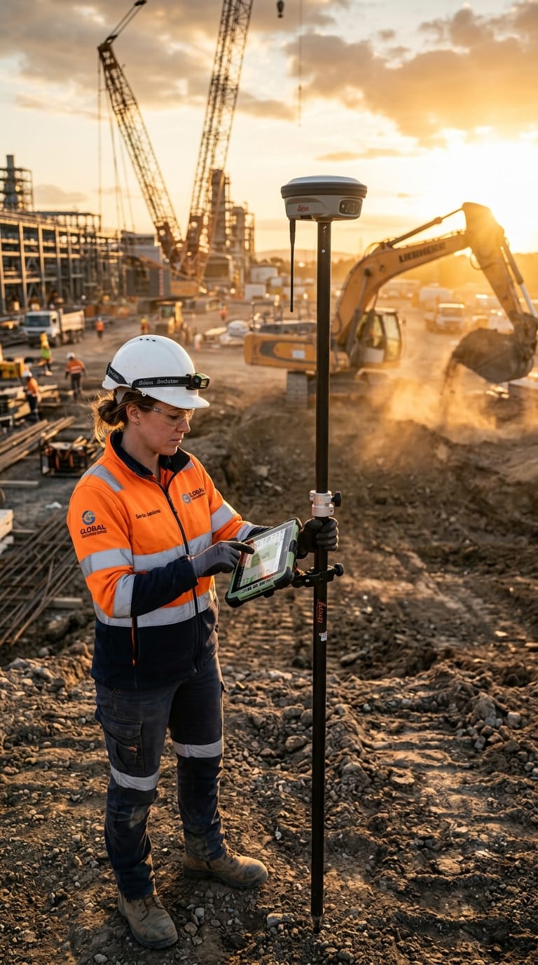
RTK GNSS receivers releasing work fronts with centimeter accuracy.
01RTK GNSS receivers releasing work fronts with centimeter accuracy.
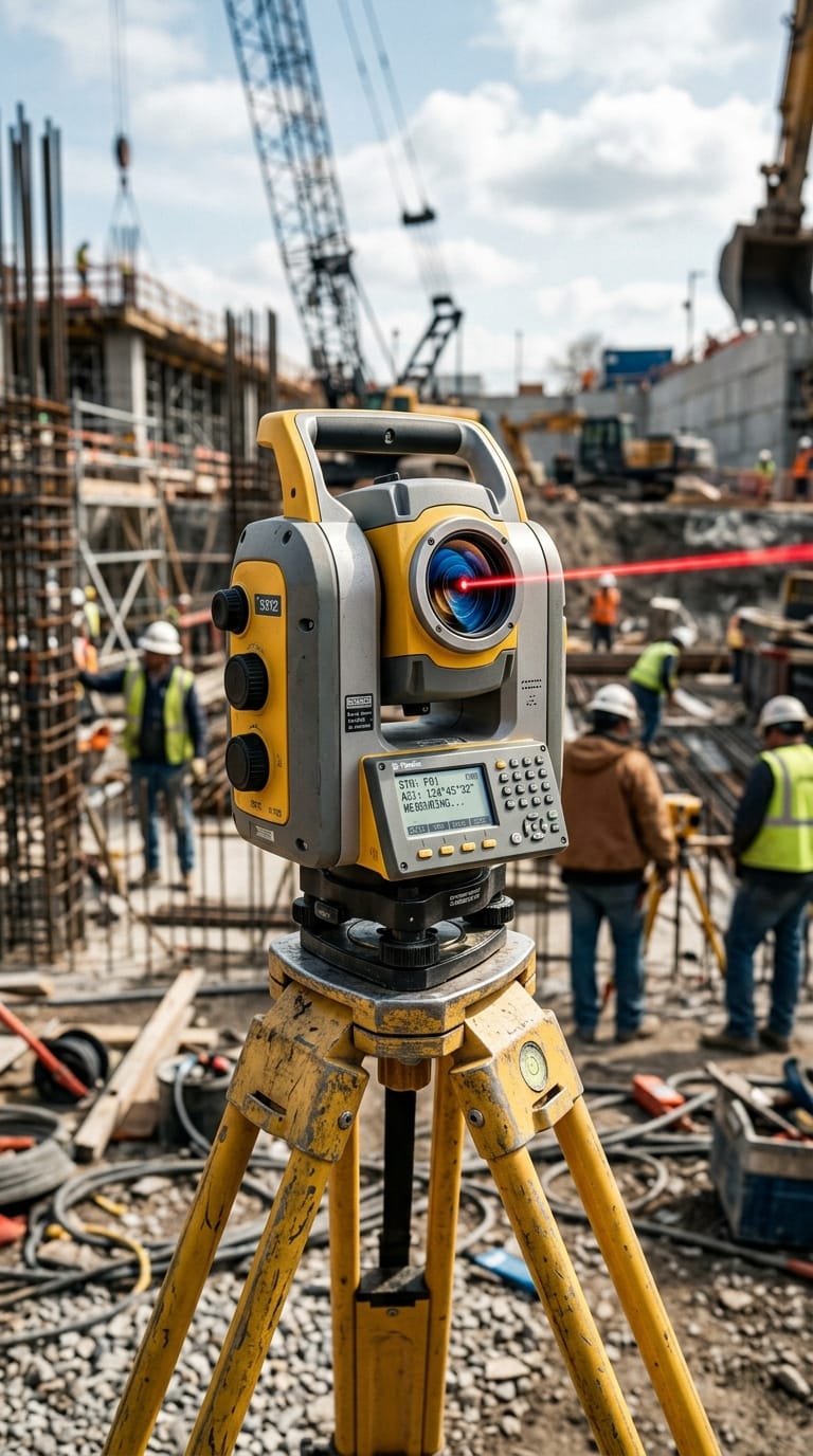
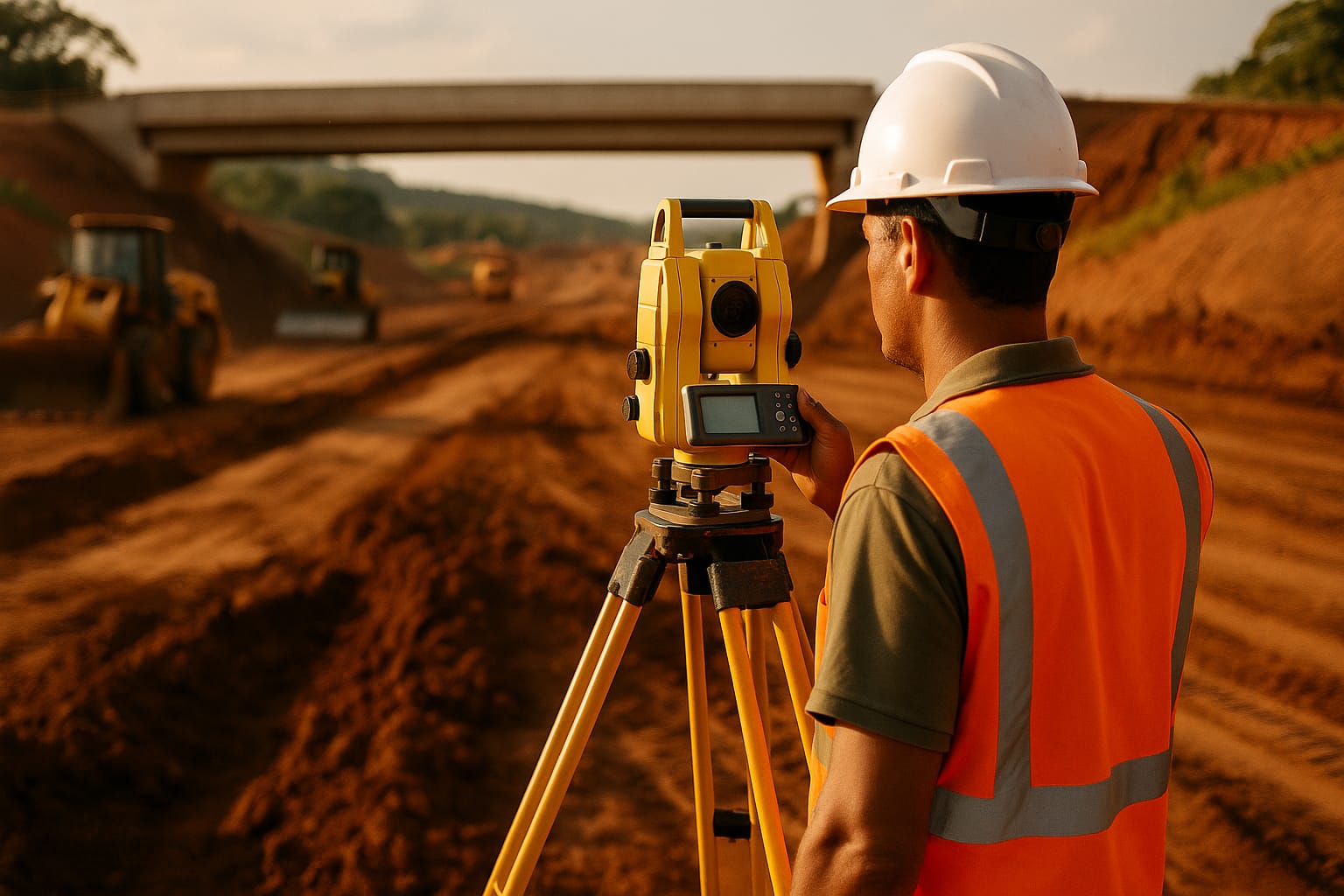
Robotic total stations for axis layout and structure control.
02Robotic total stations for axis layout and structure control.
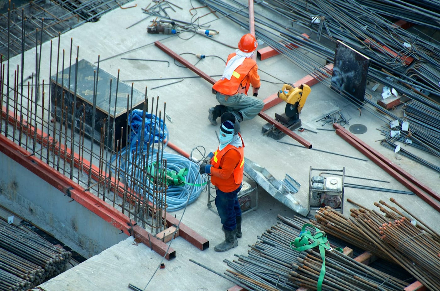
An integrated technical team, from field to office.
03An integrated technical team, from field to office.
Why MIDAS

Why MIDAS on your site

01

72-hour mobilization

Survey camp structured — with crew, equipment and attack plan — within 72 hours of contract signature. No Day-1 inertia.

02

RTK & integrated robotics

Centimeter-accuracy real-time positioning with Trimble/Leica GNSS RTK synchronized with heavy machinery via radio link. Field data reaches the office in minutes, not days.

03

Remote field resilience

Self-sufficient teams for up to 30 days in areas without power, internet or urban infrastructure. We operate in dense jungle, flooded zones and hard-to-reach terrain with own power generation equipment.